


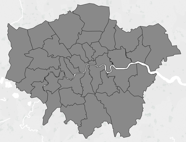
Getting from this…
to this…

in Tableau may not be quite as simple as you believe.
What you probably think i’ve done is put ‘Local Authority Short’ on the Label shelf.
I would if I could, but when using the polygon mark type (note the map type in the image is a custom polygon map), the labels shelf is greyed out and you cannot place anything on their.
The image below shows the problem you face.
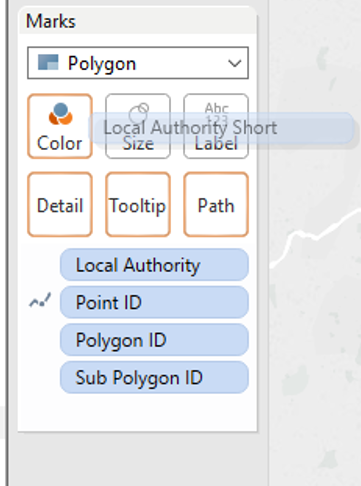
:@:@:@
Okay, so how can I label this map type then? Well, for the 2nd time this week, the dual axis chart comes to the rescue.
No we cannot label polygon mark types, but we can label all other mark types.
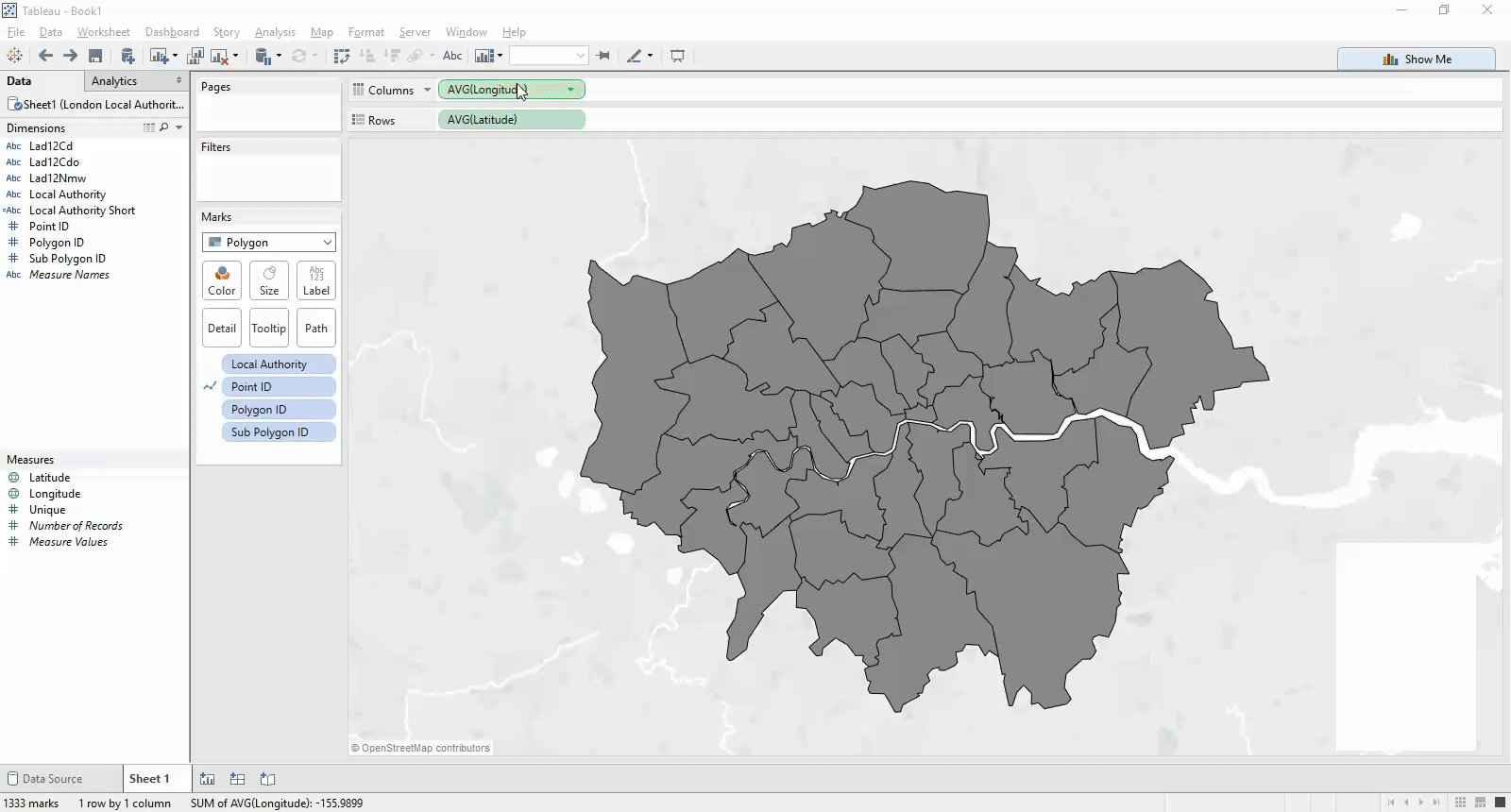
So now all we have to do is dual axis our chart (by dragging either of latitude and longitude onto the rows/columns shelf), change the mark type (in my case circles) and remove ‘point ID’/’Polygon ID’/’Sub Polygon ID’ from the path and detail shelves (so we have only one point for each local authority).We can now label these marks, create our dual axis and do a bit of formatting so we only see our labels and not the circles.
Myself and Jules spent a few minutes working a solution from another individuals blog post, but the method they used appeared to be unnecessarily complex and we decided there must be a more simple way, and this is what we came up with!
I hope this tip proves useful!
Ben
I must also give credit to @TheVizDoctor (Jules Winceslaus) with who helped build this tip!
#VizLikeAnArtist