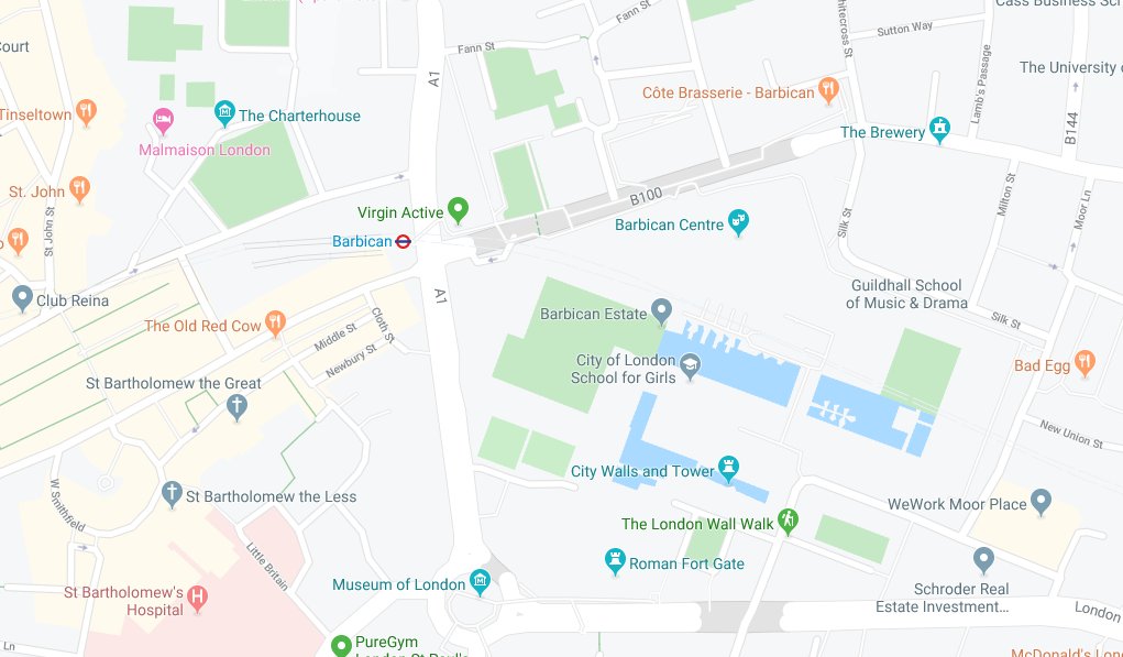
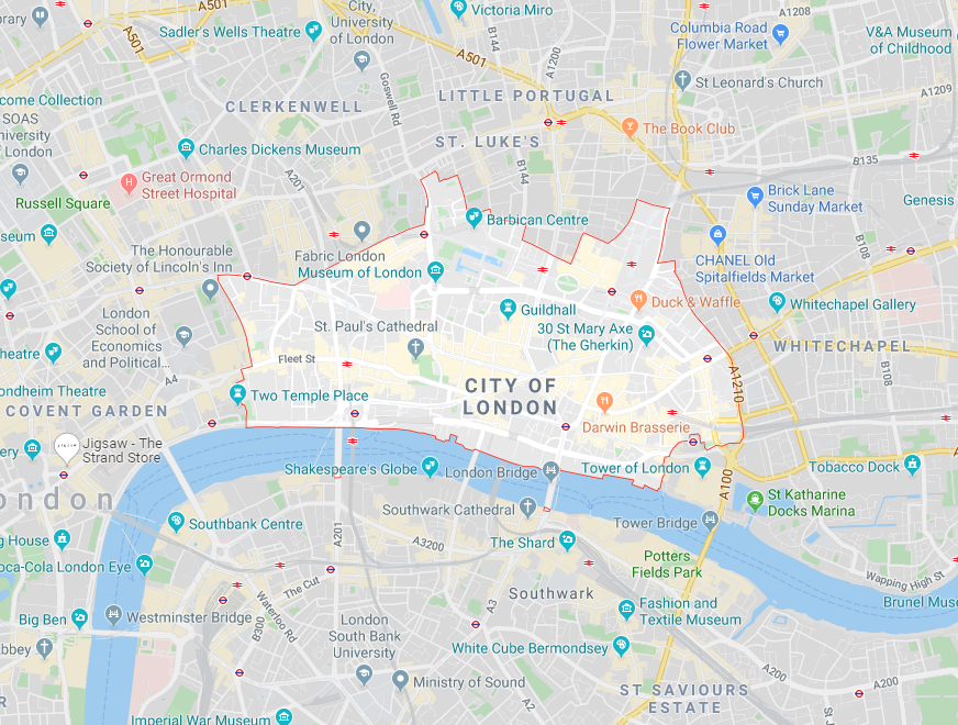
Whether we are tracking a parcel, finding the fastest route to work or locating the best restaurants in a new city, spatial data helps us all, almost every day. Spatial data is also a vital tool for businesses and can help them to make better decisions, become more efficient, cut costs and become more profitable. With geographical analysis we can answer questions such as:
- Where are our shops most likely to be profitable?
- Where are our competitors?
- Where should telephone or internet cables be placed?
Essentially, spatial data is information about shapes and locations of geographical features and the relationships between them. At its most basic level, spatial data is made up of points, lines and polygons:

- Points – these are points on a map, they could be stored as an address, the name of a restaurant or even as latitude and longitude coordinates.

- Lines – these are made up of multiple points and contain information such distance between points.

- Polygons – putting points and lines together creates a polygon. A polygon could be a country, city or state and contains a wealth of information about what is inside, for example, how many supermarkets or schools there are in the area.
Key Tools in Alteryx
Alteryx’s inbuilt spatial tools mean that we can easily turn traditional data such as latitude and longitude coordinates into spatial data and analyse relationships between different spatial objects.

- Map Input – Using the Map input tool we can manually create points, lines and polygons onto a map of our choice.

- Create Points – this tool uses latitude and longitude coordinates within a data source to create spatial points on a map.

- Trade Area – with trade area we can create a region around a specified point, either using drive time or radius.

- Find Nearest – This tool allows us to find the nearest N number of points to a target spatial object.

- Distance – finds the distance between two spatial objects.

- Spatial Match – this tool establishes the spatial relationship between two spatial objects, where at least one should be a polygon.
Remember, you always need to use a browse tool to view spatial data within Alteryx!
