In today's Spatial session, I learned some specifics in Alteryx and Tableau. In this post, I'll take a look at how to create routes in Alteryx.
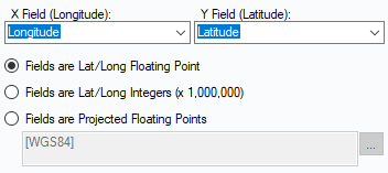
The first step is to create points from latitude and longitude using the Create Points tool. Always make sure that the longitude is in the X field and the latitude is in the Y field.
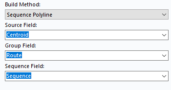
Next step will be the Poly Build tool which will connect those points. In this tool select Sequence Polyline under Build Method. The Source Field is Centroid, the Group Field in this case is the column for the route-number and the Sequence Field stands for the for the individual points from longitude and latitude which we have defined previously.
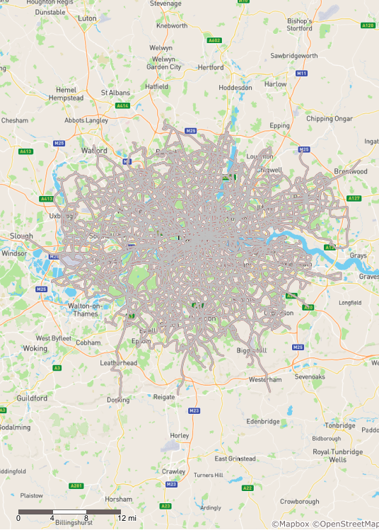
The final result showing by the Browse-Tool.