This week in the Data school we have been going through a lot of different chart types and features within Tableau, one of them that I thought was particularly interesting was the ability to measure distance between closely located areas using the radial selection tool. It comes with the caveat that it can only be used when you have zoomed in very far on the map.
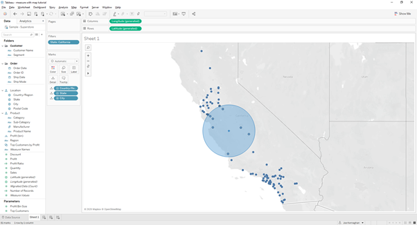
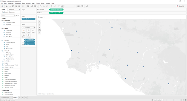
When viewing the map at a larger scale, in this example I have filtered state to California and have added cities to the details shelf. The map is currently in the default position for viewing California, if I use the Radial Selection tool this is the result I get. It allows you to select marks based on them being within a certain radius of your chosen point, but you don’t know how big that radius is.
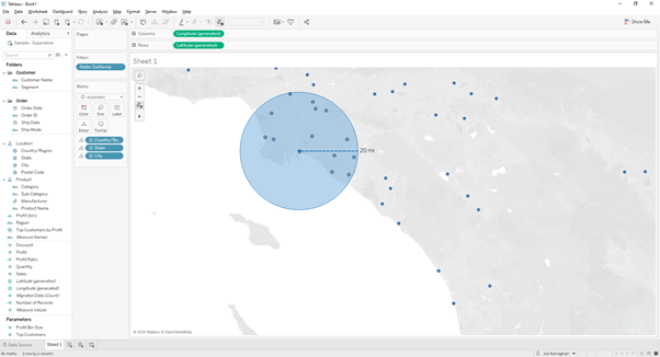
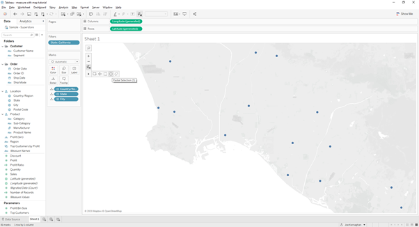
There becomes a point during zooming in when there is a change in the level of detail of the terrain, not very noticeable in all areas. This is the first instantce where when you can radial selection shows the radial distance.
Now if you select the radial selection tool, like so:
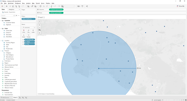
If you wanted to see how many cities were within 20 miles of Long Beach you could place your curser and click on the centre of the Long Beach dot and drag it out to a radius of 20 miles and see how many marks were selected, if you’re interested there’s 14 as you can see below.