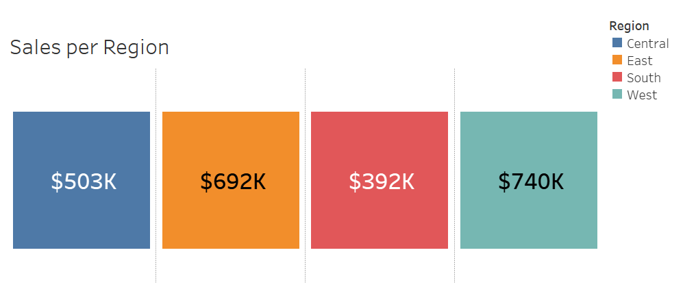
Within my spatial lesson part 2. We got shown how we can change the layouts of a map using map box. The other thing I thought was useful was how to make the shape of a country a contextual number. Shown below shows the normal type of contextual number. I am using colour for region.
This is what we can do with using the shape of region instead of just a standard square:
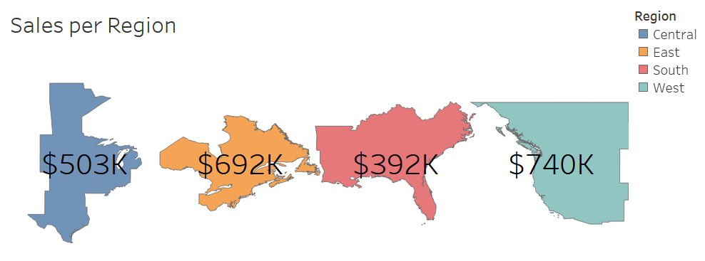
This is a effective and more visual way to show these numbers.
So How to do this: First place region on to columns. Next change the view to entire view. Now change the mark to map. Now we can adjust the size of the map and also add region on to colour. Finally we can add our contextual number, for this example I am just going to do sum of sales. Now its just formatting I just increased the size of the text and made it centrally aligned.