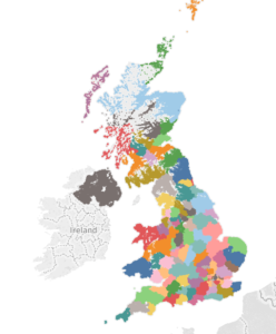
Having worked in the Public Sector for a very, very, very long time understanding the various geographies of your local area becomes very important. The Public Sector is obsessed with carving up the area they serve into as many different geographies as possibly. This makes it very easy to pass the buck when dealing with customers…you’ll often hear phrases like “I’m sorry you’ll have to speak to the North East team about that” or “That’s an issue for the your local district, not me”.
But I’m aware that not everyone has experienced these ways of working and so some of the UK geography can be quite confusing.
I’m going to split this blog into a number of blog posts. Why? Not because it’s confusing and incredibly complex, no because it will get my blog count up and make me look awesome on the blog tracker!
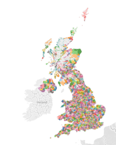
There are actually loads more geographies that I don’t know about so I am just going to cover the 4 ones that I do (these are probably the most common).
They are:
Postal Geography
Let’s start with Postal Geography….
A postcode, for example GU22 7QQ, can be divided up into four parts:
GU – The Postcode area. There are 124 of these in the UK and this is the largest geographical unit
GU22 – The Postcode District. This is a subdivisions of the Postcode Area.
GU22 7 – The Postcode Sector. This is a further subdivision of the Postcode District
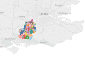
GU22 7QQ – The Postcode Unit. The final and lowest level of Postcode data. There are 1.7 Million of these in the country.

As far as I’m aware there is no “open” polygon data available for postcodes. You can buy Code-Point With Polygons from Ordnance Survey.
As an alternative the Postcode Unit data is available free from Ordnance Survey or ONS as point data from which there is a potential to “grow” the polygons using Vononoi diagram (common in most GIS software).
I hope you found that vaguely interesting, if you didn’t…tough…there more to follow.